Guidelines
This website offers a compilation of tips, links and recommendations for those willing to explore the mountains, lakes and valleys of Switzerland. I have never addressed hiking as a sport or activity to challenge my physical limits, but rather as a chance to escape the city life and enjoy nature. As an amateur photographer I tend to look for routes with stunning & distinct landscapes, and all the hikes presented here are chosen with that criterion in mind. While there are plenty of resources online to find hiking paths / routes, I haven't found any which looks at hiking through a photographic lens, and that's the gap this website intends to fill.
About the tagging system:
- Seasons: they represent when I have visited that place, i.e. when the photos shown were taken. They do not represent the only season(s) when a particular hike can be done. For instance, if a hike contains only the "Spring" tag it's very likely that you can also do that hike in summer, but the landscape might look different.
- Type of landscape: this is a subjective classification and it is meant to give a general idea of what to expect from the hike.
- Difficulty: To be filled once this is clarified.
Tips and Links
There are a couple of important aspects to consider before selecting a specific hike:
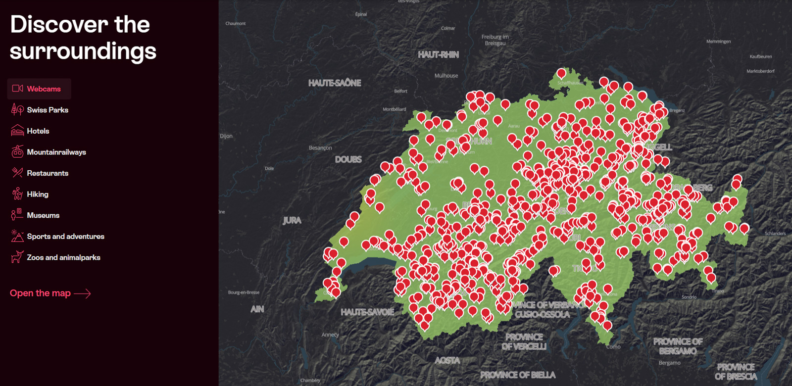
- Check webcams. There are webcams virtually everywhere in this country. If you
need to know
whether
there is snow or not at a certain place, or whether a lake has more or less water, or even if
the weather looks good as you wake up before doing the hike, check if there is webcam in the
area. For that I tend to use this site (originally intended to show how the colours of trees
evolve during autumn):
Foliage Map (MySwitzerland)
- Always check the weather forecast, if possible from multiple sources. I am afraid I don't have good news here: the forecast is not always reliable, it might predict rain (effectively making you stay at home) when the weather is actually good, or vice versa. You will eventually need to embrace the uncertainty and get prepared for the possibility of unexpected rain / wind / snow. By default I check MeteoSwiss (Weather Forecast), and if it seems unclear then look for other sources, sometimes the ski resort websites if I am planning to hike close to any of them.
- Check cable car timetables, you might get an unpleasant surprise otherwise. It's also useful to see if the cable car runs continuously or only every XX minutes, because that might lead to long waiting times (talking from experience…). My hikes often involve taking a cable car up or down. While some people prefer to walk up (better for their knees) I tend to arrange our hikes to take the cable car up first in the morning and then walk down. By doing that you don't depend on the closing time and can hike for as long as you want (or as long as the last bus / train permits).
- Install any of the many apps with topographic maps of Switzerland, for example Swisstopo or SwitzerlandMobility. With them you can localize yourself in real time in the map and follow the path you want to hike. You can also download maps to use them offline (in case you lose signal in the mountains).
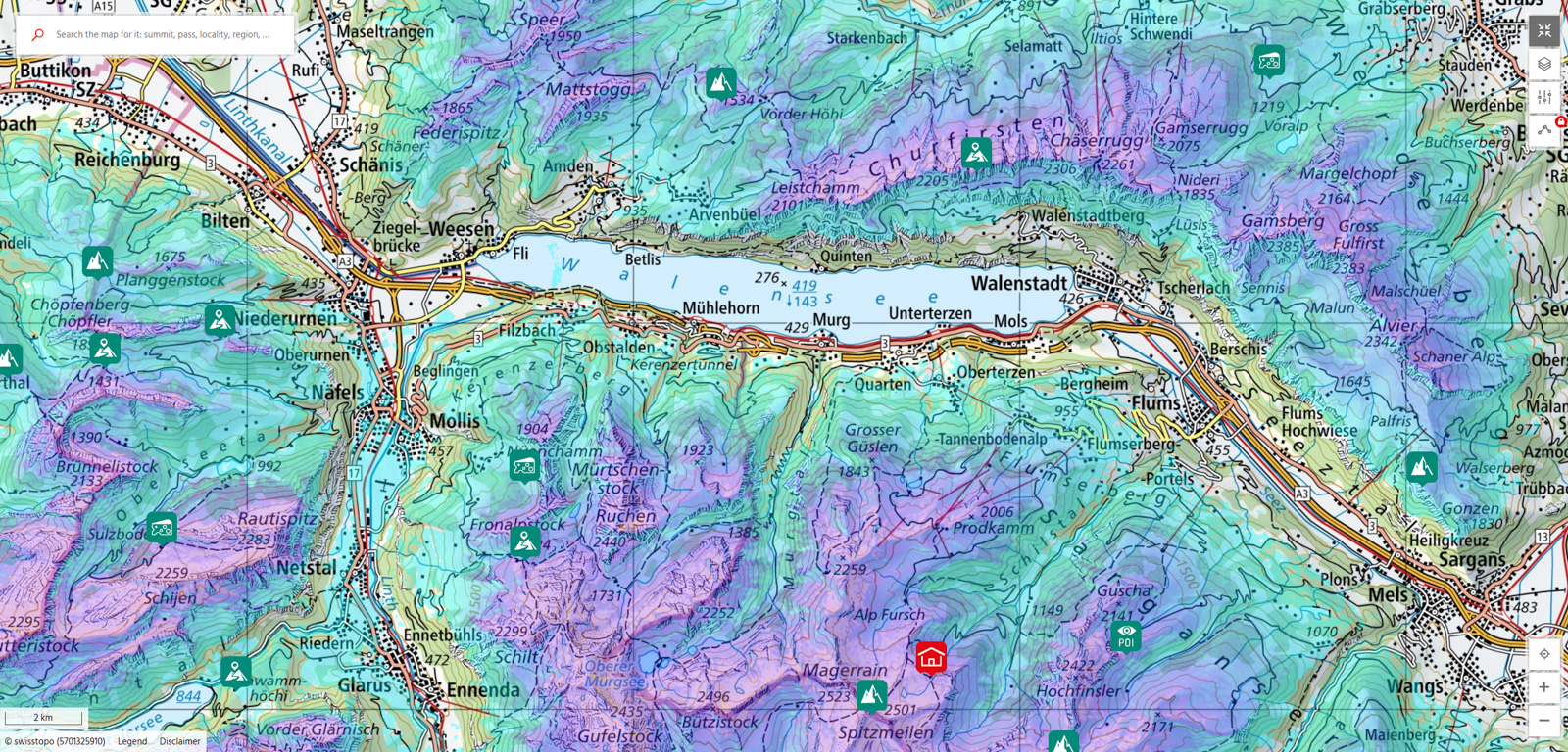
- The snow levels can make the planning of a hike tricky most of the year (except for
summer).
Besides checking on the webcams, you can also look at the snow depth estimates available on some
maps. The Swisstopo app optionally offers that visualization layer when you go to
the winter view, and the
map on the
Swiss Alpine Club (SAC) website also lets you visualize it (the latter is useful
if you are on your computer checking on the browser). It looks like this:
Usage Rights
All images displayed on this website are protected by copyright. They are intended for personal viewing only. For commercial licensing or print requests, please contact me directly.